Inyo National Forest / Sequoia National ParkVery strenuous
Best window
July - late September
Booking opens
Lottery Feb 1 - Mar 1; remaining quota Apr 22 at 7:00 AM PT
Distance (elevation)
21.2 mi
6,205 ft gain / 6,205 ft loss
Typical days
2-3 days
Start
Whitney Portal
Turnaround
Mount Whitney summit
Overview
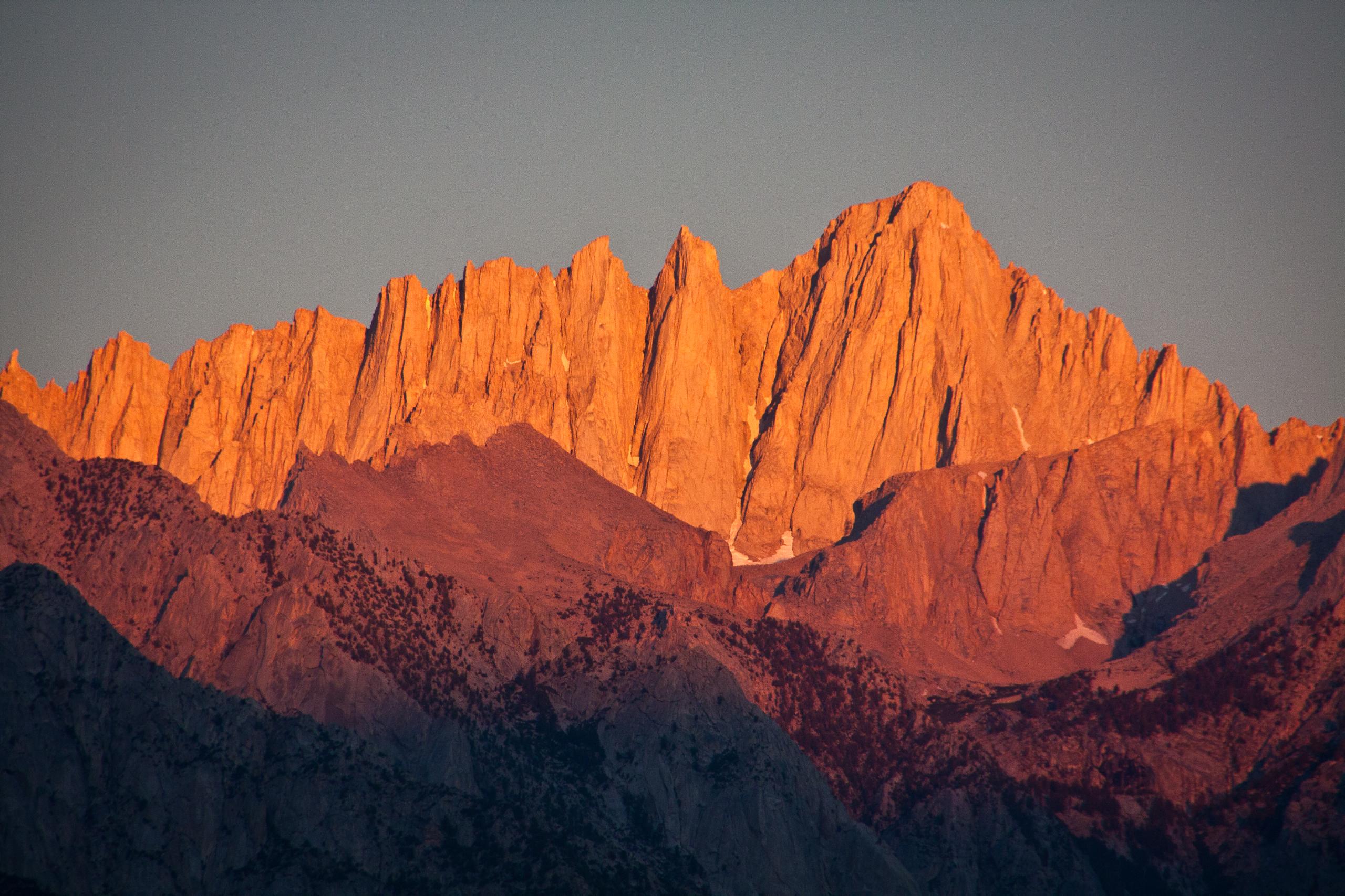
Mount Whitney is California's highest summit and the classic big Sierra walk: a long climb from Whitney Portal to Trail Crest, then a high traverse to the top. In normal summer conditions the trail is straightforward, but the altitude, early summit starts, and punishing descent are why people plan Whitney more carefully than the mileage alone suggests.
How to book
Booking the Mount Whitney Trail
Whitney usually gets booked in two waves: the February lottery, then the April leftovers. The only split that really matters is simple: if you plan to sleep anywhere on the route, you need the overnight Mt. Whitney Trail permit, not the separate day-use quota.
Lottery results post March 15, and winning reservations must be claimed by April 21 before unclaimed dates reopen on April 22.
The overnight Mt. Whitney Trail permit covers the standard backpacking route on the main trail, from Lone Pine Lake through Trail Camp.
The Whitney day-use permit is for single-day summit pushes only. Outside quota season, a permit is still required and conditions are often winter-like.
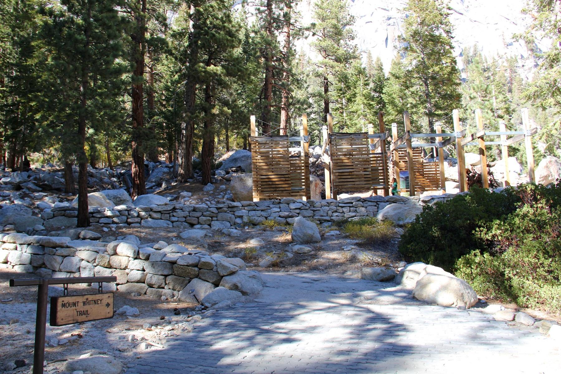
Whitney begins at Whitney Portal, already high enough that acclimation and start time matter before the climbing really starts.
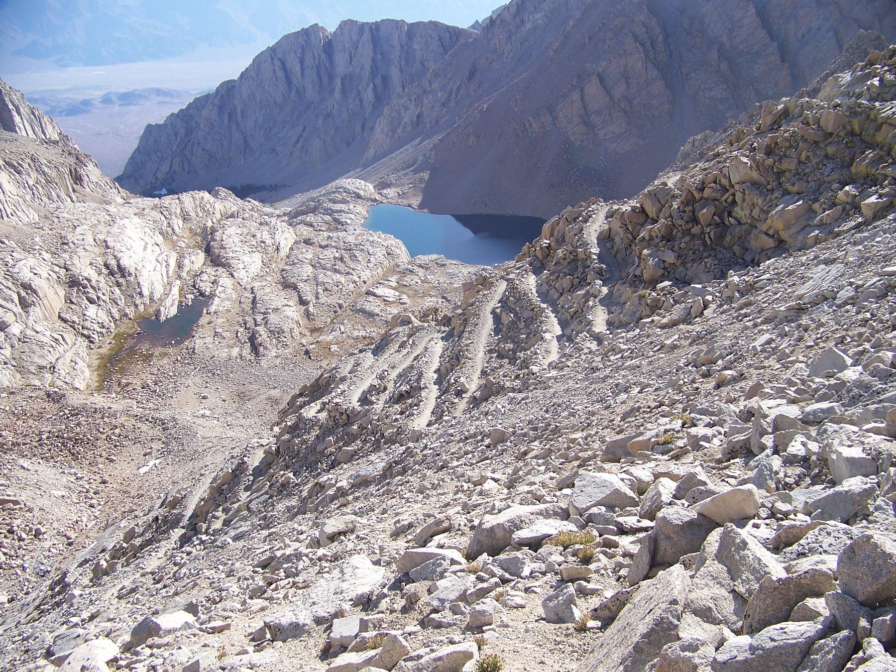
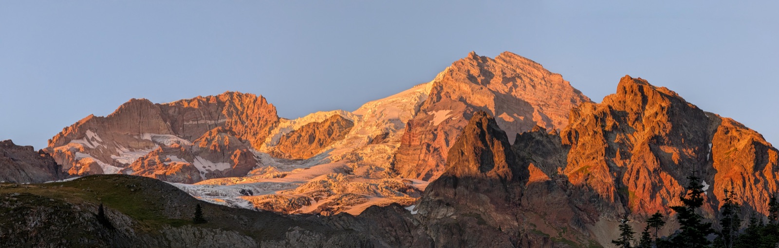
The long switchbacks above Trail Camp are where the route starts to feel properly alpine and exposed.
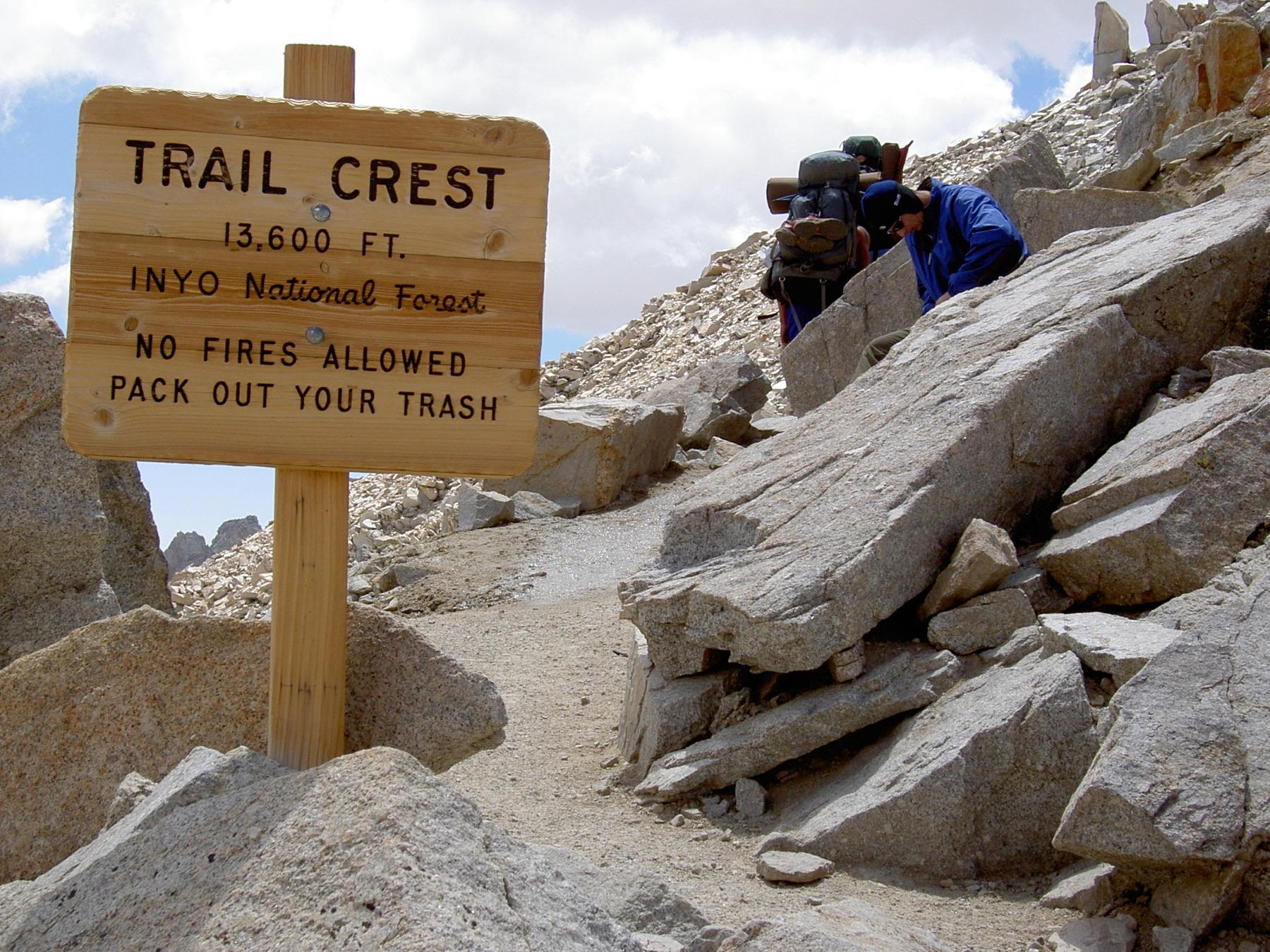
Trail Crest is the big turn in the route: once you reach it, the summit traverse is close, but the day is still far from over.
Getting there & finishing
Access, transport, and finish logistics
Start
Whitney Portal starts high enough to feel like you are already in the mountains, but it does not erase acclimation. Parking, bear-box logistics, and when you start moving are all part of a good Whitney plan.
Finish
The summit is the emotional finish, not the practical one. You still have the full descent back to Whitney Portal after the high point.
There is no standard shuttle or shortcut exit on the classic trail. Most trips start and finish at Whitney Portal.
A calm Whitney plan usually starts with parking, food storage, and when you want to leave camp for summit day.
Check current weather and trail conditions before you go, especially when snow or ice can linger on the switchbacks and crest.
The trail is nontechnical in dry summer conditions, but it still gains more than 6,200 feet and spends a long time above 12,000 feet.
Trail Crest to the summit is where altitude, wind, and weather start deciding the day more than the raw mileage does.
A one-night Whitney trip is still a hard backpacking plan. Lower camps make summit day longer, but they are often the smarter choice if acclimation is the limiting factor.
Recommended gear
What to carry for this route
Cold-weather layer for 12,000-14,500 ft
Headlamp + pre-dawn summit plan
many Whitney summit days start well before sunrise
Sun + wind protection
the upper trail is exposed for hours
Water treatment
easy lower-water access does not remove the need to filter
Nutrition + pacing plan for altitude
this route punishes underfueling
Traction plan for early season
do not assume dry switchbacks before midsummer
Live permit availability
Current route snapshot
Current openings for the route-relevant zones: Mt. Whitney Trail Overnight.
Currently availableNot currently openNo recent snapshot
Route notes
Most Whitney overnights are one camp, one summit day, one long walk out.
For most parties, Whitney works best as a single overnight with a very early summit start and a full hike back to the portal the next day. Trail Camp is the usual high camp, but Consultation Lake or Outpost Camp are often better choices when altitude is already shaping the trip.
If you want the standard Whitney overnight, start with one night at Trail Camp and move lower only if acclimation is the bigger concern.
Camping anywhere on this route needs the overnight Mt. Whitney Trail permit. The Whitney day-use permit is a separate quota for single-day summit pushes.
Trail Crest to the summit is where the route feels long, high, and exposed. Do not count on moving fast above 12,000 feet.
Wind, storms, or leftover snow can end summit day even when your permit and camp plan are fine.
Trip FAQ
Common planning questions
What is the best single overnight camp for a first Whitney trip?
For most first trips, start by choosing between Trail Camp and a lower night. Trail Camp makes summit day shortest, Consultation Lake splits the difference, and Outpost Camp is the safer call when acclimation is the real limiter.
Can I use a Whitney day-use permit for an overnight trip if I just camp low?
No. Any overnight on the main Whitney Trail needs the Mt. Whitney Trail Overnight permit. The day-use permit only covers a single-day trip.
What changes outside the May-November quota season?
From November 2 through April 30 the quota and lottery are gone, but the route is no longer a normal summer backpack. A permit is still required and conditions are often snowy, icy, and much more serious.