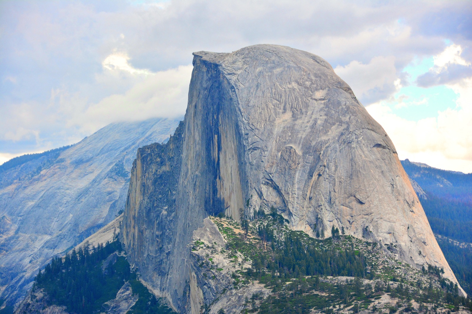
Half Dome rising above Yosemite from Glacier Point
Half Dome details

Half Dome permit details and route guide

Choose the trailhead that matches your route. Half Dome access comes with the permit — the entry trailhead and trip shape are the real decisions.

Eligible trailheads
7
Typical trip
2 to 4 days
Permit model
Yosemite wilderness entry
Half Dome access
Backpacker add-on during cable season
Half Dome views
All eligible trailheads

Entry, exit, and summit day at a glance.

Valley routes start and finish at Happy Isles — no shuttle needed. Glacier Point Road and Tioga Road routes are one-way traverses that exit at Yosemite Valley and require a return shuttle.

RouteEntryExitSummitShuttle
Happy Isles · LYV2 daysHappy IslesHappy IslesDay 2NoTrack
Happy Isles · Past LYV2 to 3 daysHappy IslesHappy IslesDay 2NoTrack
Glacier Point · LYV2 to 3 daysGlacier PointYosemite ValleyDay 2YesTrack
Mono Meadow3 to 4 daysMono MeadowYosemite ValleyDay 3YesTrack
Sunrise2 to 3 daysSunriseYosemite ValleyDay 2YesTrack
Cathedral Lakes2 to 3 daysCathedral LakesYosemite ValleyDay 3YesTrack
Rafferty Creek3 to 4 daysRafferty CreekYosemite ValleyDay 4YesTrack
Tracker strategy

Track the smallest set that still covers your real options.

The best tracker is not always the broadest one. Watch every eligible trailhead only when your route, shuttle, and camp plan can genuinely flex that far.

Half Dome is the point

Focus on the Happy Isles trailheads. Little Yosemite Valley puts the summit on day 2 with minimal extra mileage.

Scenic south-side approach

Add Glacier Point or Mono Meadow when the Panorama Trail or Illilouette Basin matters more than speed.

Longer Tuolumne traverse

Use Sunrise, Cathedral Lakes, or Rafferty Creek when Half Dome is the finale to a bigger high-country trip.

FAQ

Does a Half Dome backpacking trip use the same permit logic as the day-use lottery?

No. The planning model starts with an eligible Yosemite wilderness trailhead. During the cable season, those backpacking permits can include Half Dome access, so the route and entry trailhead matter first.

Should I watch all seven eligible trailheads?

Only if your group can genuinely pivot between a Yosemite Valley start, a Glacier Point Road start, or a Tioga Road traverse. If the route shape is fixed, broad tracking mostly adds alerts you cannot use.

Which route is best if I want the shortest summit setup?

Start with the Little Yosemite Valley variants. Happy Isles to Little Yosemite Valley is the classic direct overnight, while Glacier Point to Little Yosemite Valley gives you a calmer south-side approach to the same camp corridor.
Ready to pick the exact trailheads to watch?

The route planner shows the map, entry point, and a tracker link for each eligible trailhead.

Back to route planner →