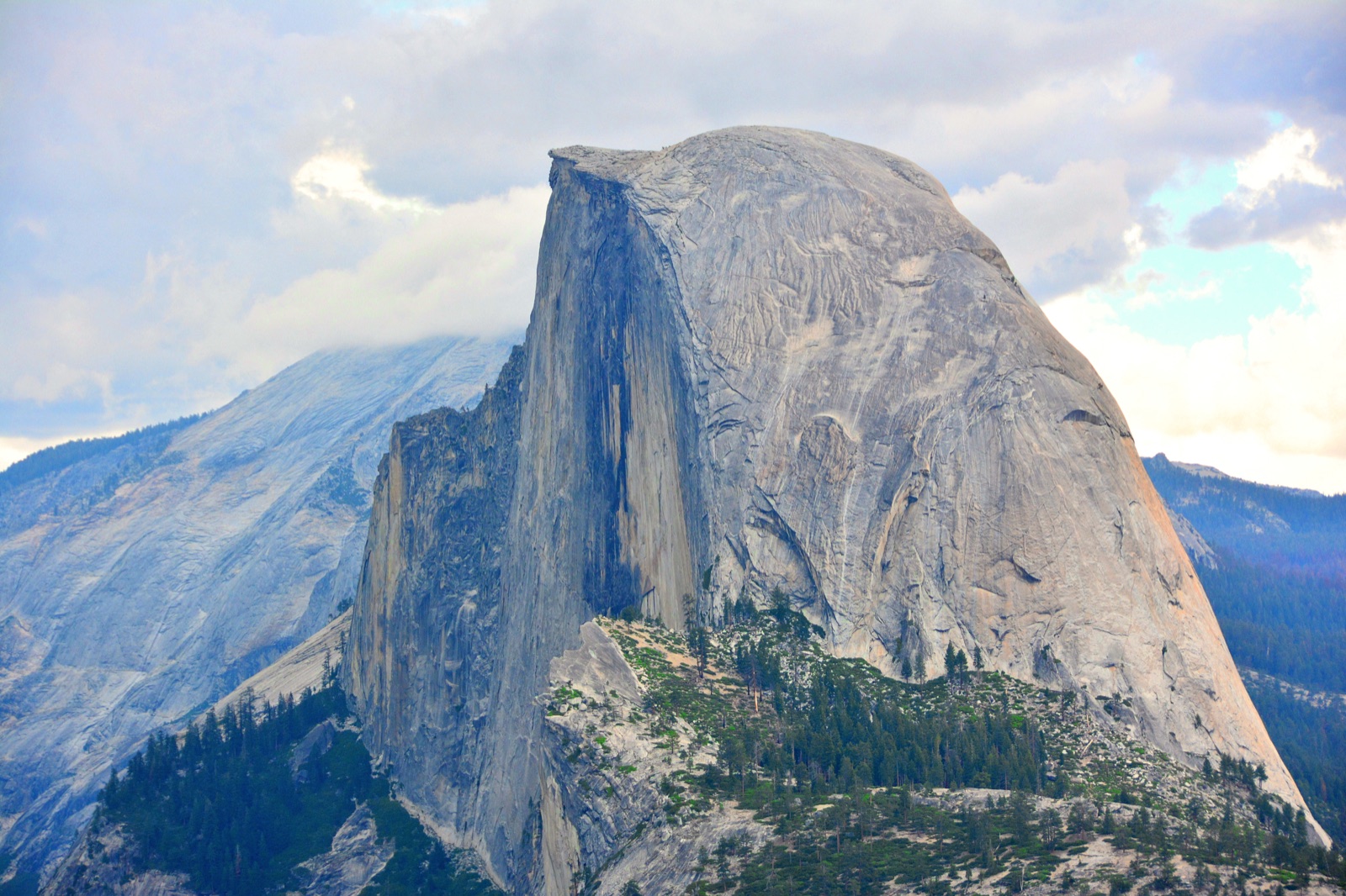
Half Dome route selector
Pick a route. See it on the map. Track the right trailhead.
Half Dome backpacking is a trailhead-choice problem. Compare the route options in the planner, inspect them on the map, and hand off to the correct tracker in one click.
Eligible trailheads
7
Typical trip
2 to 4 days
Permit model
Yosemite wilderness entry
Half Dome access
Backpacker add-on during cable season
Half Dome views
Eligible trailheads
Pick the Half Dome route that fits the trip.
Choose a trailhead and the map highlights that route. Entry, exit, and shuttle details appear below the list.
A fast overnight when Half Dome is the main objective, not a side quest.
- Entry
- Happy Isles
- Exit
- Happy Isles
- Shape
- Out-and-back
- Summit
- Day 2
Happy Isles -> Little Yosemite Valley
Valley2 days
Map preview
Add a Mapbox token to render the interactive Half Dome route map.
The planner is wired to use external route GeoJSON later through each route's geometry URL, with the embedded planning geometry as the fallback for now.