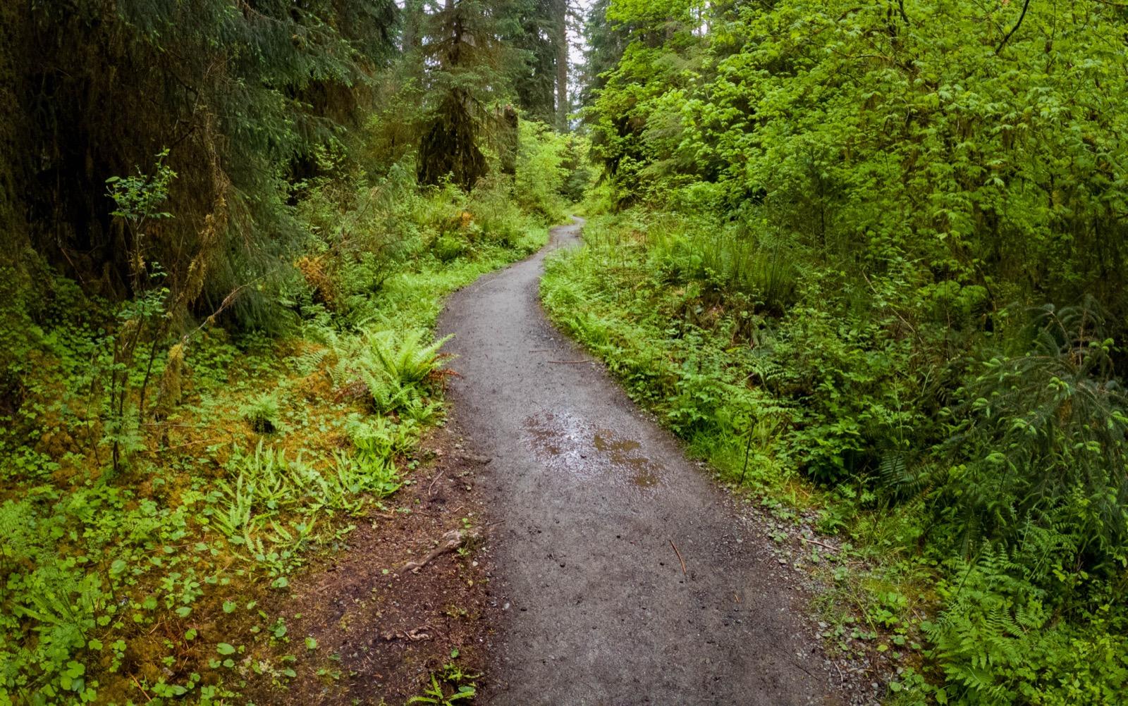
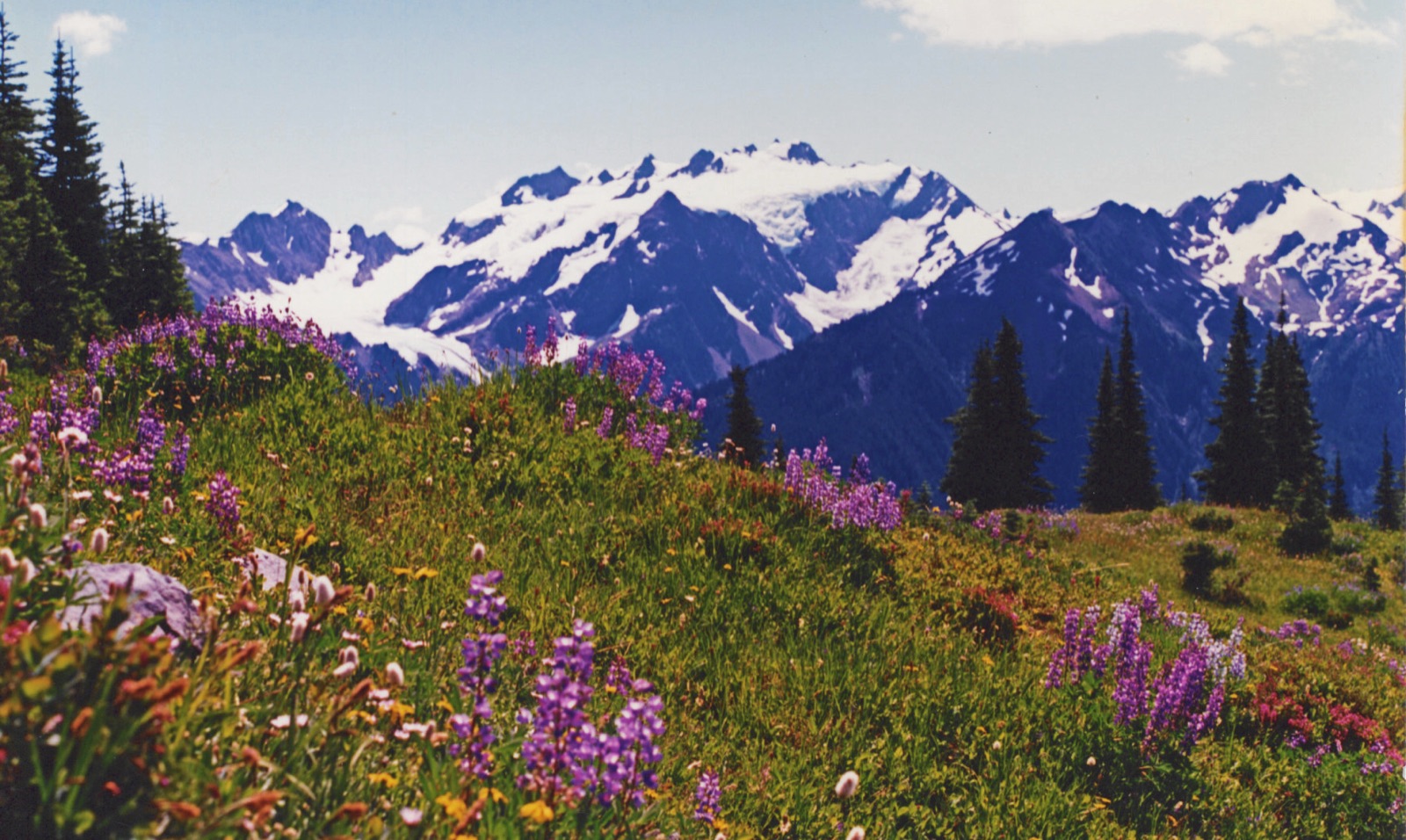
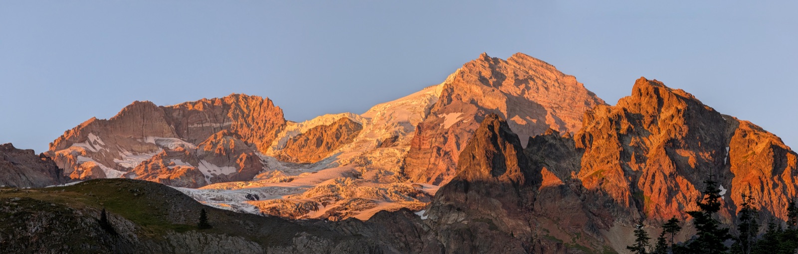
One of Olympic’s classic rainforest approaches, the Hoh River Trail follows the broad valley toward Blue Glacier through giant cedar, moss, and steadily wilder upper-country camps.
How to book
Booking the Hoh River Trail
Olympic wilderness permits are required year-round. For summer Hoh trips, May 15 - Oct 15 dates release on Recreation.gov on April 15 at 7:00 AM Pacific. The upper-valley camps that make Blue Glacier itineraries work are usually the hardest nights to land.
Permits are created through Recreation.gov or with the Wilderness Information Center; there are no paper self-registration permits at the trailhead.
Olympic does not hold back a separate same-day walk-up pool for Hoh camps. If a night is open online, book it there or call the WIC for help.
Bear canisters are required for every overnight trip on this route.
Drive to Hoh River Trailhead, about 20 miles southeast of Forks. There is no shuttle, so most parties stage from Forks or another west-side Olympic base.
Finish
This is a true out-and-back. Most overnight itineraries turn around at Glacier Meadows or continue the short final stretch to Blue Glacier viewpoints before retracing the valley.
The first 13 miles are relatively flat rainforest walking, so it is easy to underestimate how late you will hit the steeper upper valley.
There is no on-route resupply or alternate exit once you commit up-valley.
Check current trail conditions before travel; storms, washouts, and early-season snow can change the upper route quickly.
The lower Hoh is forgiving rainforest mileage, but the trail steepens sharply above Lewis Meadow toward Elk Lake and Glacier Meadows.
The washed-out avalanche chute and rope-ladder section just below Glacier Meadows are the crux for many backpackers, especially in wet weather.
Early-season snow can linger above Elk Lake, and anything beyond the Blue Glacier viewpoint becomes a mountaineering objective rather than a normal backpacking turnaround.
Recommended gear
What to carry for this route
Bear canister
required for all wilderness camps
Waterproof layers + spare dry clothes
Trekking poles
helpful for the river braid crossing and steep upper trail
Water treatment
Hoh River and side streams are the main sources
Camp shoes or dry socks
wet trail and brush are part of the route
Current trail report + navigation backup
important if snow lingers near Glacier Meadows
Live permit availability
See what is open before you set the tracker.
This is a compact, current snapshot for the dates and route filters that matter to this trip. It is built from the projection-backed live availability table so the details page stays fast while still showing useful signal.
Showing route-relevant areas: Elk Lake (No Campfires), Five Mile Island, Glacier Meadows (No Campfires) + 4 more
Currently availableNot currently openNo recent snapshot
Route notes
The lower Hoh is easy mileage. The upper Hoh is where the trip gets real.
Tom Creek, Five Mile Island, and Happy Four work well for short first days, but Blue Glacier itineraries usually hinge on Olympus Guard Station, Lewis Meadow, Elk Lake, or Glacier Meadows. The valley stays forgiving until the last few miles, when the grade steepens and the washed-out chute before Glacier Meadows starts to matter.
Glacier Meadows is the cleanest overnight anchor for a Blue Glacier day, but it is also the hardest Hoh camp to land.
Lewis Meadow is often the best compromise if you want a stronger final push without forcing the whole trip into one upper-corridor night.
If the goal is a strong rainforest overnight rather than the glacier end, Olympus Guard Station or Lewis Meadow usually makes a smoother first Hoh trip.
Trip FAQ
Common planning questions
What usually makes Hoh permits hard to book?
For Blue Glacier itineraries, the upper-corridor camps are the real choke points. Lewis Meadow, Elk Lake, and especially Glacier Meadows matter far more than the trailhead itself once you move past a short rainforest overnight.
Is Blue Glacier just a normal backpacking finish?
For most backpackers, the practical finish is Glacier Meadows plus the short walk to Blue Glacier viewpoints. Anything beyond that becomes a mountaineering objective with glacier travel implications, not a normal extension of the overnight hike.