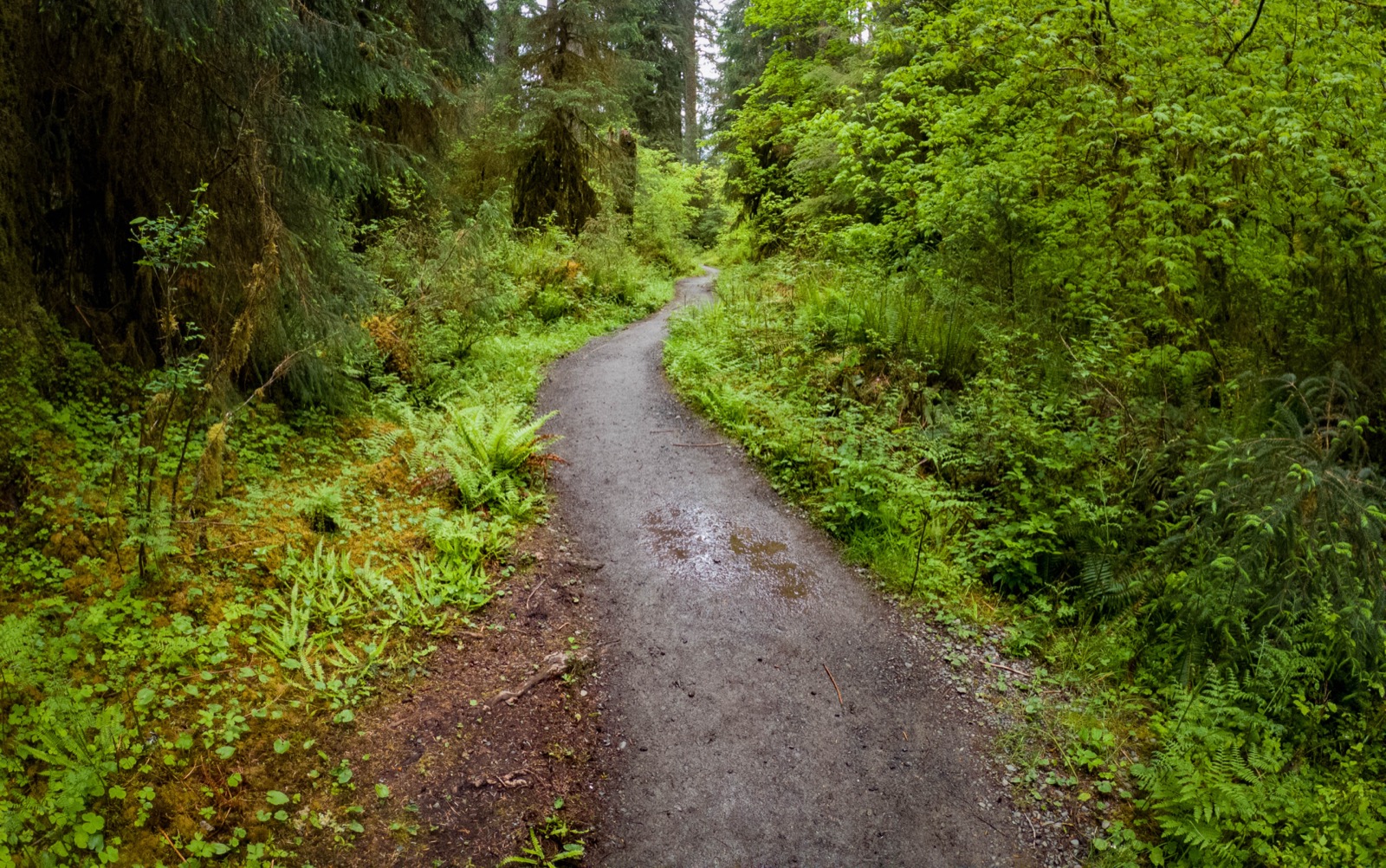
Hoh River Trail
Olympic National ParkModerateLate June through September
FromHoh River Trailhead
Out and backAdding to2 stops
1
Hoh River Trailhead → Lewis Meadow
On map
Miles
10.8 mi
Gain
↑ 600 ft
Loss
↓ 120 ft
Elevation
2
Lewis Meadow → Glacier Meadows
Miles
6.6 mi
Gain
↑ 2,200 ft
Loss
↓ 280 ft
Elevation
3
Glacier Meadows → Hoh River Trailhead
Return · via Blue Glacier
Miles
17.8 mi
Gain
↑ 480 ft
Loss
↓ 2,880 ft
Elevation
Watch this day
Long day: over 13 miles.
Now: set up alerts
You've planned it. We'll watch for the permit.
Turn this trip into a permit tracker and we'll email you the moment a cancellation opens on Recreation.gov. First active tracker free. Additional trackers are $5 if you want more coverage.
Planning estimates only. Verify permits, campsite availability, maps, trail conditions, bridges, snow, weather, and closures with official sources before traveling. Source: National Park Service Hoh River Trail page.