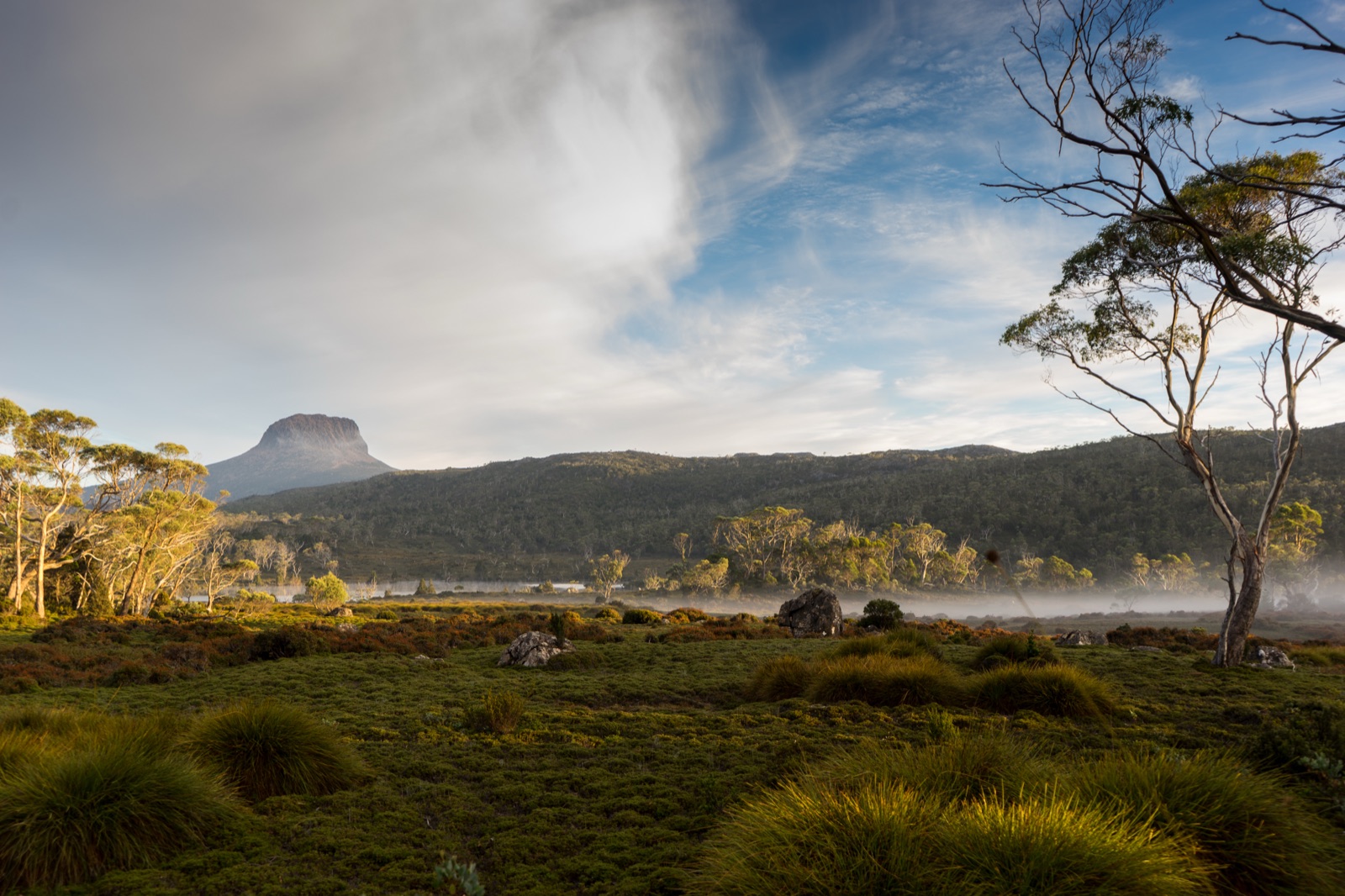
Overland Track
Cradle Mountain-Lake St Clair National ParkVery strenuousOctober through May
FromRonny Creek
Ronny Creek to Narcissus5 stops
1
Ronny Creek → Waterfall Valley Hut
On map
Miles
6.8 mi
Gain
↑ 1,873 ft
Loss
↓ 1,368 ft
Elevation
2
Waterfall Valley Hut → Lake Windermere Camp
Miles
4.7 mi
Gain
↑ 761 ft
Loss
↓ 843 ft
Elevation
3
Lake Windermere Camp → New Pelion Hut
Miles
9.3 mi
Gain
↑ 1,788 ft
Loss
↓ 2,211 ft
Elevation
4
New Pelion Hut → Kia Ora Hut
Miles
5.3 mi
Gain
↑ 1,122 ft
Loss
↓ 1,135 ft
Elevation
5
Kia Ora Hut → Bert Nichols Hut (Windy Ridge)
Miles
6.0 mi
Gain
↑ 1,257 ft
Loss
↓ 1,158 ft
Elevation
6
Bert Nichols Hut (Windy Ridge) → Narcissus ferry jetty
Miles
6.9 mi
Gain
↑ 840 ft
Loss
↓ 1,247 ft
Elevation
Planner-first route
Use the planner here. Book the route through the official system.
PeakPeeker helps you plan the nights, mileage, and route logic for this trip. It does not monitor live booking inventory here, so the next step is to confirm the official booking and access rules once the itinerary feels right.
Planning estimates only. Verify permits, campsite availability, maps, trail conditions, bridges, snow, weather, and closures with official sources before traveling. Source: Tasmania Parks Overland Track overview.